+91 86198 79908
parthinfraprojects@gmail.com
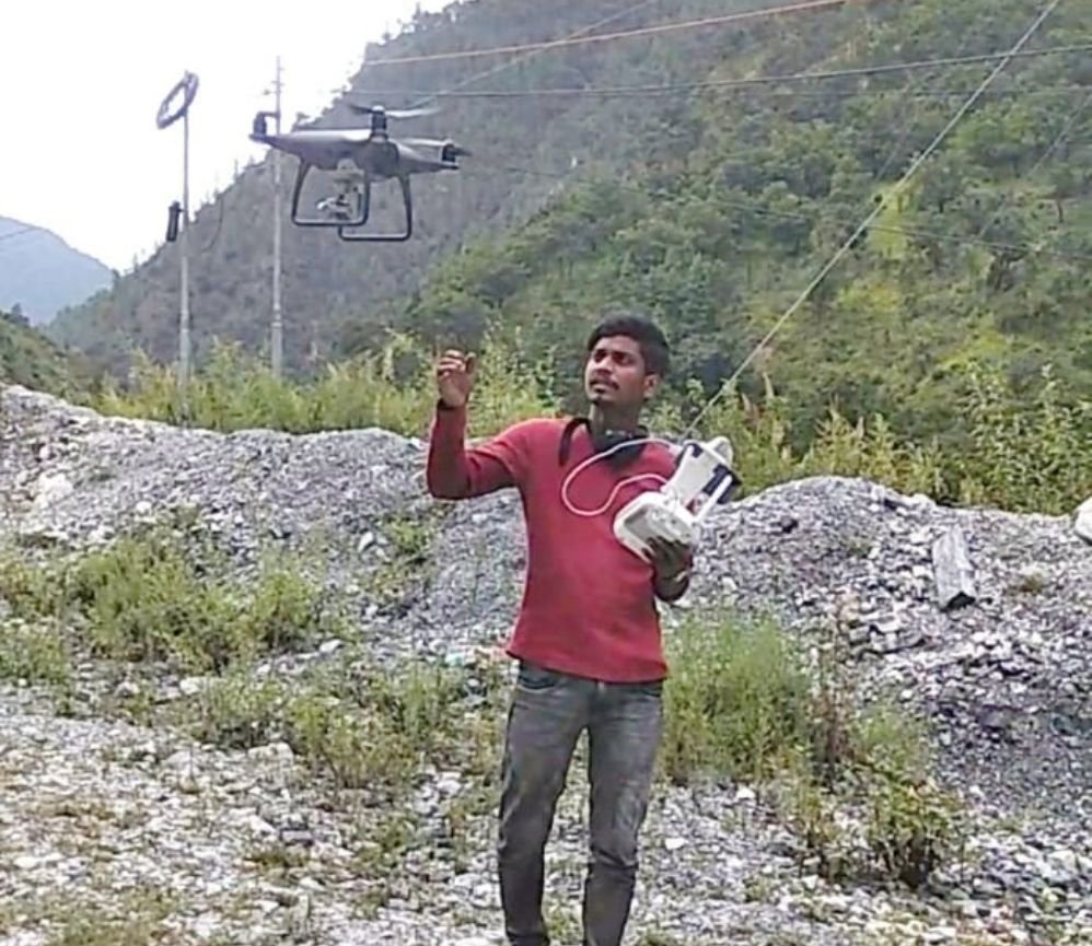
Survey
High-resolution drone surveying and aerial mapping
Advanced drone technology for aerial survey, orthomosaic mapping, and volumetric analysis. Perfect for large area mapping and monitoring.